Copyright © Panorama Group 1991 - 2022
Professional vectorizer Panorama-editor
"Panorama-editor" allows to create high-quality digital maps with use of the raster image of source cartographic materials, of materials of Remote Sensing of the Earth (results of air and space photographing of a terrestrial surface), and also of results of field geodetic measurements.

Includes advanced tools of quality check of a created vector map, tools of editing the raster image, tools of transforming of raster and vector data.
Export of maps to the formats SXF, MIF\MID, SHP\DBF (Shape), Arinc 424, OGC GML (XML), KML (Google), DXF, S57.
Formation of separate sheets of a map by nomenclature. The automated formation of works region by the specified dimensions of region and by parameters of a separate map sheet.
The automated formation of a mathematical and a compilation survey of digital maps. Processing of matrixes of heights received by photogrammetric mode. Construction, report, equalizing of matrixes of heights, the automated coordination with elements of hydrography. The automated formation of horizontals, bergstriches, arrangement of titles.
Use as source materials of the raster copies of runs of maps sheets, of materials of Remote Sensing of the Earth (results of air and space photographing of a terrestrial surface), and also of results of field geodetic measurements and the data received from GPS - equipments.
Creation of new maps with automatic filling of projection parameters by EPSG code or from the list of parameters in XML format.
The automated search, selection, summarizing, classification and generalization of objects of map.


Interactive vectoring of the raster image. Semi-automatic tracing of objects of a map by black-and-white (2b/p), 16-color (4b/p) and 256-color (8/b/p) raster images. More than hundred automated and interactive modes, the most important for process of creation and editing of digital map.
Formation of the image, parameters and the attributive description of the conventional symbols used at displaying and print of digital maps. Classification of object structure and semantic characteristics. Logic division of all objects of a map onto separate layers. Management of priorities of a displaying the map layers onto the screen.
Check of structural integrity of the information, check of the rules observance of the digital description of map objects. Check of objects onto degeneracy. Check of objects closing. Checking a digitizing direction of polygon objects. Check of exits of objects onto a sheet frame. Check of repetition of points. Checking the presence of obligatory and absence of inadmissible attributive characteristics. Checking a correctness of values of characteristics. Check of topology and logic of the attributive description. Check of a report of adjacent sheets.

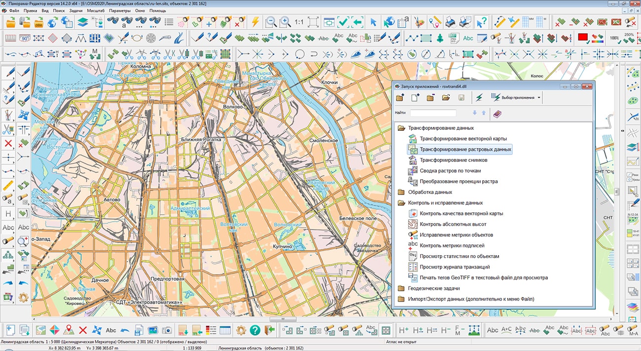
Transformation of data (transformation of a vector map, transformation of raster data, transformation of photos etc.)
Data processing (pre-tile preparation of OpenStreetMap data, creation of mathematical basis, coordination of adjacent sheets, data joining, construction of horizontals by elevation matrix)
Control and correction of data (correction of objects metrics, construction of titles by object semantics, control of titles metrics, viewing statistics on objects, etc.)
Geodetic tasks (calculation of LCS parameters by a set of points, calculation of datum parameters by a set of points)


Preparation and the print of complex reports including maps, graphics, multi-line text with different attributes, etc. Print of an digital map on the various output devices and output to PostScript. Preview the document prepared for printing, customizing the parameters of printing small map runs.
Creation of roads graph and building a remoteness graph, the minimum path between two or more specified points on the terrain.

Ph.: +7 (495) 739-0245, +7 (925) 221-1603
www.gisinfo.ru | panorama@gisinfo.ru
105005, Russia, Moscow, Baumanskaya Street 7, building 1, office 229 (m. Baumanskaya)
Copyright © Panorama Group 1991 - 2024


 Mobile version
 Full version