Copyright © Panorama Group 1991 - 2024

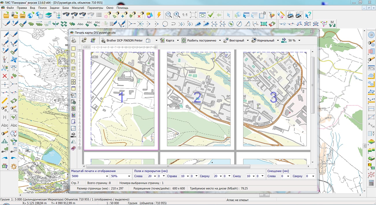
Specialists of KB "Panorama" have updated and placed maps of Transcaucasia on the geoportal . Maps were formed according to OpenStreetMap data, source data obtained from website. To work with the map, you can use the program or other software products of KB "Panorama".
The maps were led to the modernised classifier of large-scale plans of scale 1: 5 000 (map5000m.rsc). Publishing of updates in bank of spatial data is made by using the program of . Publishing contents of bank of spatial data on the geoportal and data access for downloading are implemented by means of GIS WebServer SE.
Free maps on the basis of OpenStreetMap data are available for download on the page "Digital maps".


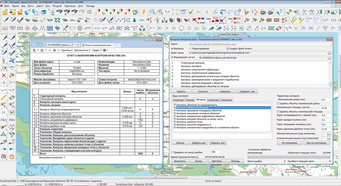
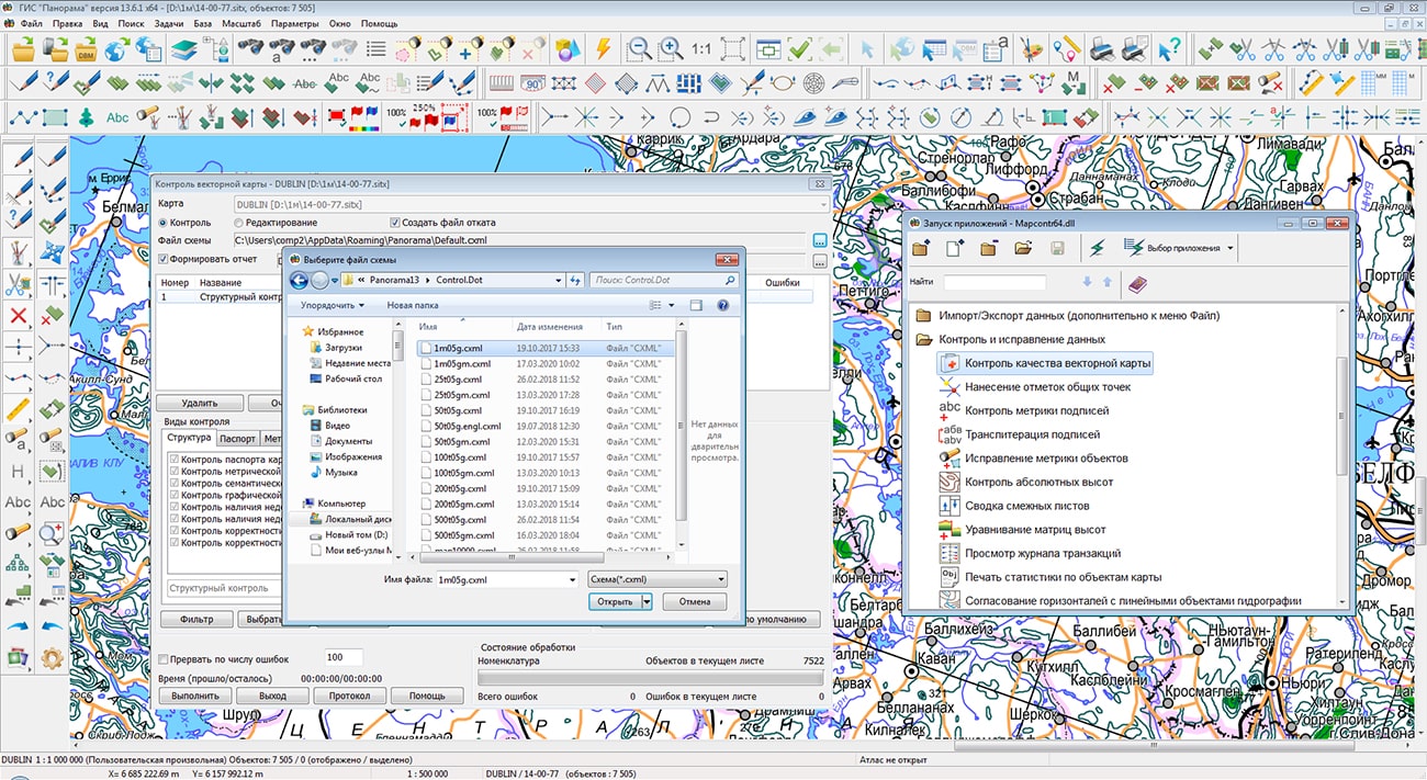
In KB "Panorama" the Complex of the automated checking the quality and correction of maps version 7.1 has been developed. In the new version the procedures of checking the quality of a digital map have been improved. Control of double points of the objects metrics was updated. When performing control in edit mode, double points are filtered taking into account topological links with neighboring objects on the map sheet. Neighboring objects with common points are filtered at the same time. Endpoints are not filtered. Control of repetition of values of unique semantics on sheet has been added.
A new mode "Control of values by symbol table" has been added into the control of objects semantics. This control allows you to find Latin characters in the values of the selected symbolic semantics and replace Latin characters with Cyrillic characters. This mode is relevant for characters that have the same image in Latin and Cyrillic, for example: K, A, M, E, P, T, O, H and others. Correction of the text semantics is necessary for the correct operation of tasks of search by the value of symbolic semantics, for example: by the name of the city, street, surname.
There is added a control over the direction of digitizing multipolygons. Control of report of adjacent sheets has been improved. The check for the digitizing direction of linear objects going on the sheet frame has been implemented. Objects with the direction of digitization "Predefined" (linear rivers), "Lower right" (horizontals) are checked.
The complex of automated checking the quality and correction of digital maps is designed to obtain a single digital map from the original digital maps in the SXF format, created according to different classifiers. The complex consists of a program of checking and correcting the DTM in SXF format, a utility for control of coordination of adjacent DTM sheets, a subroutine for combining adjacent DTM sheets and a procedure for analyzing the correspondence of the object content of maps and classifiers.
The new version of the program is available for download in the Download section.


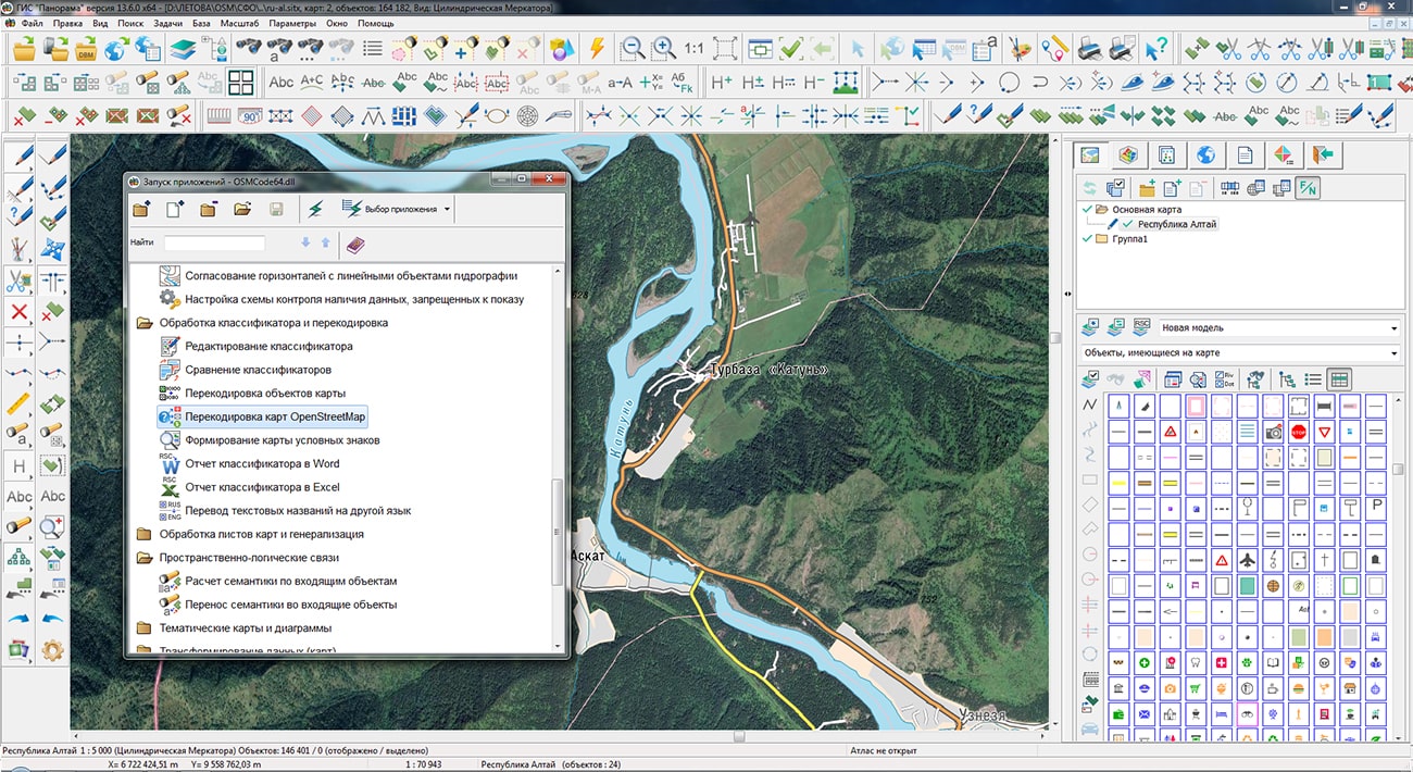
The specialists of KB "Panorama" prepared and placed on the geoportal maps of the Tomsk region and the Altai Republic. The maps were formed using OpenStreetMap data, source data was obtained from website. To work with the maps, you can use the program or other software products of KB "Panorama".
The maps were led to the modernised classifier of large-scale plans of scale 1: 5 000 (map5000m.rsc) and were saved into a packed project (MPTZ). The MPTZ format project includes a digital map of the region's territory (country, subject of the federation, administrative region), a map of the administrative-territorial division of the region and a digital classifier. Publishing of updates in bank of spatial data is made by using the program of . Publishing contents of bank of spatial data on the geoportal and data access for downloading are implemented by means of GIS WebServer SE.
Free maps on the basis of OpenStreetMap data are available for download on the page "Digital maps".


In KB "Panorama" the version 9.1.0 has been developed. In the new version the speed of working the service has been increased when monitoring large data sets. The Imagery Service allows you to track changes in spatial data in real time and rebuild only the changed areas. The program carries out monitoring the data changes: by the transaction log - for vector data, by the update time - for raster and matrix data. Imagery Service allows to automatically maintain tile data arrays on the geoportal up to date state.
In the new version the administrator interface has been improved. Descriptions for matrixes, the size of a tile, the projection description were added. Support of server message logging has been added. Support for large volumes of spatial data (satellite images, DEMs, vector maps) was added.
Panorama Imagery Service is a service designed to create and update tile pyramids in PNG, PNG8 or JPEG formats using spatial data managed by the program. Pyramids of tiles are published using OGC WMTS protocol by service the GIS WebService SE. As the clients of services, there can be various GIS supporting the OGC WMTS protocol and users of the program. Pyramids of tiles can be created on the base of a combination of digital vector maps, space and aerial photography, matrixes of elevations, data from geoportals and other data.
The new version of the program is available on the website in the section.


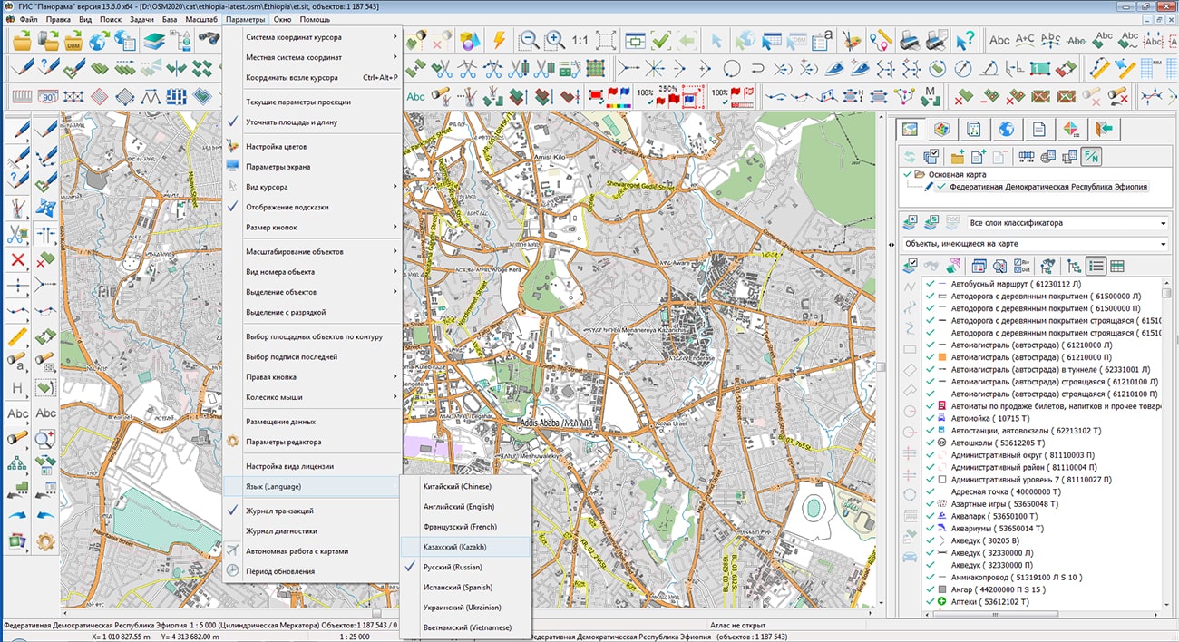
Specialists of KB "Panorama" prepared and placed a map of Ethiopia on the geoportal . The map has been formed according to OpenStreetMap data, source data were obtained from website. To work with the map, you can use the program or other software products of KB "Panorama".
The map was led to the modernised classifier of large-scale plans of scale 1: 5 000 (map5000m.rsc). Publishing of updates in bank of spatial data is made by using the program of . Publishing contents of bank of spatial data on the geoportal and data access for downloading are implemented by means of .
Free maps on the basis of OpenStreetMap data are available for download on the page "Digital maps".


Ph.: +7 (495) 739-0245, +7 (925) 221-1603
www.gisinfo.ru | panorama@gisinfo.ru
105005, Russia, Moscow, Baumanskaya Street 7, building 1, office 229 (m. Baumanskaya)
Copyright © Panorama Group 1991 - 2024


 Mobile version
 Full version