Copyright © Panorama Group 1991 - 2024

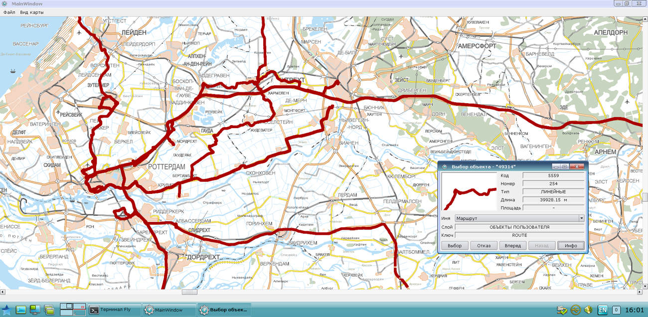
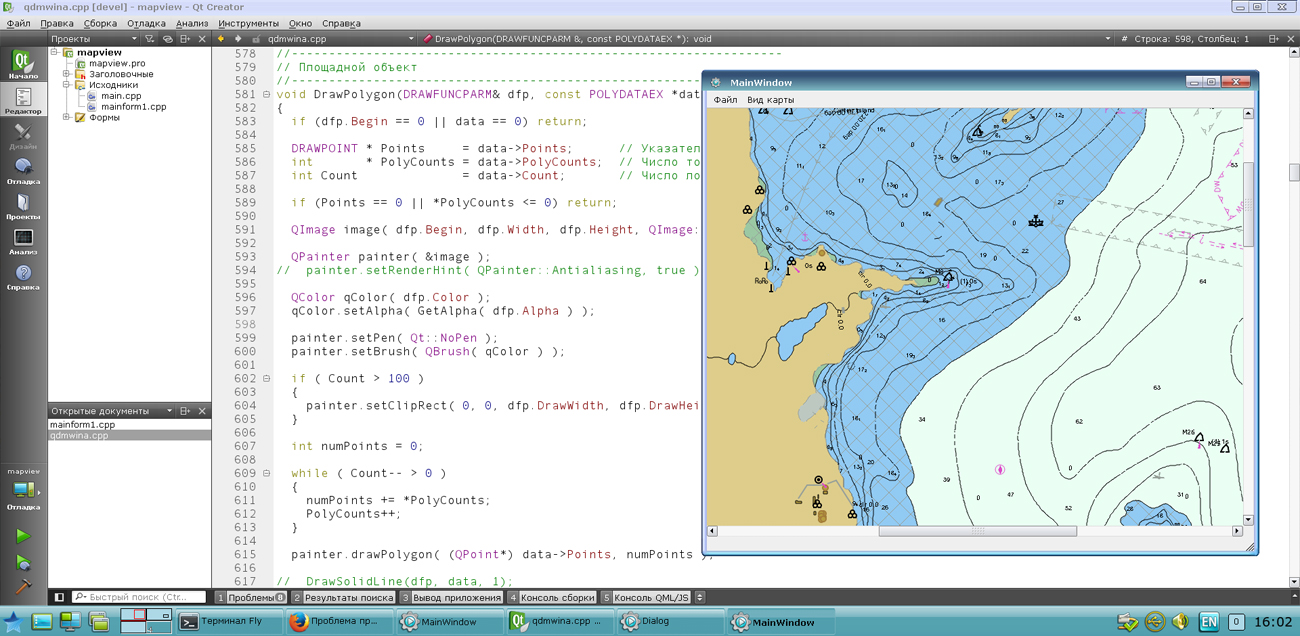
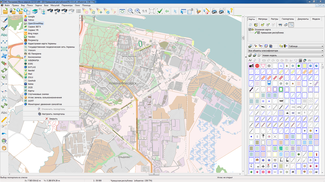
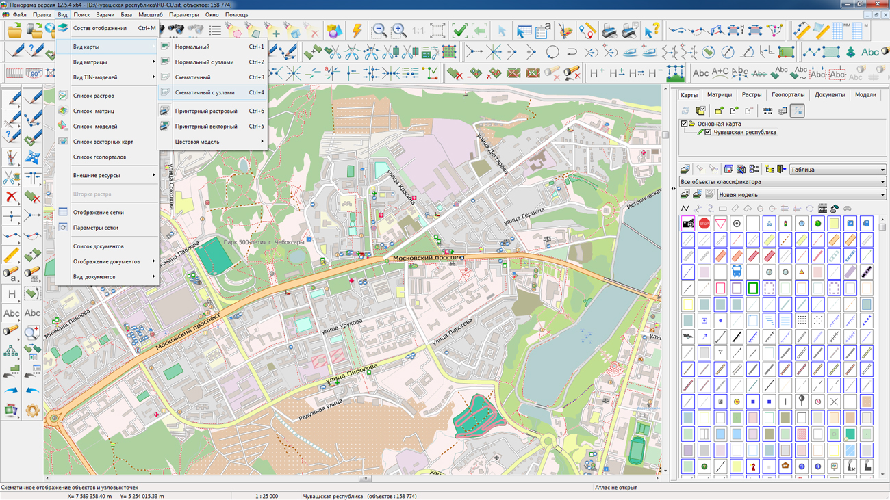
In KB "Panorama" the GIS Constructor for Qt Designer SE version 12.3.0 is developed. In the new version the list of examples is supplemented with the typical functionality of GIS-applications: changing coordinates and characteristics of objects, the uniting and intersection of objects, work with the transaction log, transformation of the individual points and digital maps, performing calculations on maps, search by conditions (intersection, finding the distance, etc.), import of exchange formats and work with a GPS receiver. An example of connecting geoportals includes the ability to enter an arbitrary geoportal address.
In the new version of a kernel of GIS applications a support of importing maps of SHP-format is added. Now the user can import as separate files SHP into maps of GIS "Panorama" format, and entirely a set of SHP-files, having specified the path to the directory. Reliability of working the visual components of Qt Designer is improved.
GIS Constructor is a set of geoinformation components for use in the visual programming environment of Qt Designer, which allows you to develop your own GIS applications. The visualization of the contents of digital maps is made in conventional symbols adopted for topographic, geographical and various special maps. Geoinformation system has ample opportunities for performing calculations, for providing display of spatial data on various graphic devices in standard and user systems of conventional symbols. The main functions can be executed in multithreaded mode. It supports automatic optimization of used memory for processing large amounts of data (tens of gigabytes) on limited resources (hundreds of megabytes).
The toolkit is adapted to work on a wide range of platforms and supports operating systems such as Astra Linux SE, MSVS, CRTOS Neutrino, Elbrus, Zarya, Ubuntu, Alt Linux, QNX, CentOS and others. It can be used in computer complexes with processors of architectures ARMv7, Elbrus, PowerPC, Intel x86, Intel x64 and others.
The new version of the program is available for download in the section.


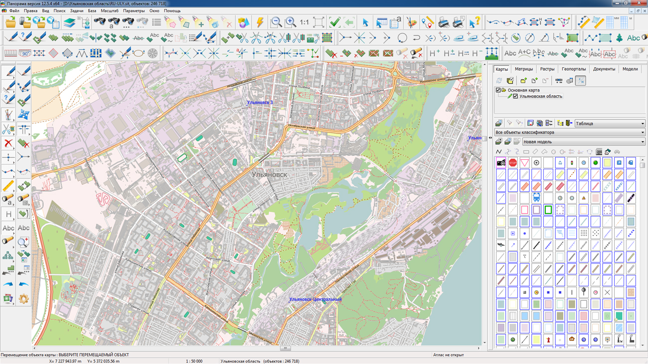
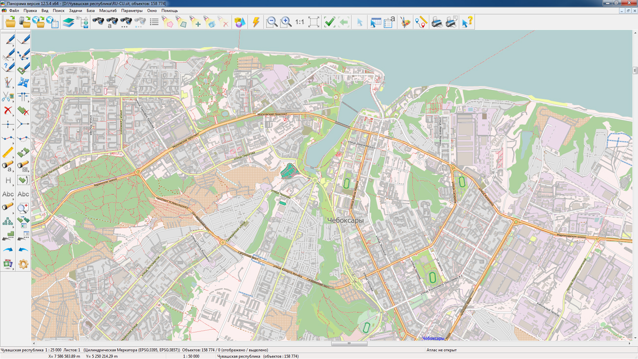
On the geoportal the map of the Ulyanovsk region and the Chuvash republic formed according to OpenStreetMap data, were updated. Source data obtained from the GIS-Lab website are complemented by objects from maps of scale 1: 1 000 000. There are added the objects of hydrography, vegetation, road network. For work with the received maps it is possible to use the program of or other software products of KB "Panorama".
Publishing of updates in bank of spatial data is made by using the program of . Publishing contents of bank of spatial data on the geoportal and data access for downloading are implemented by means of GIS WebServer SE.
Free maps on the basis of OpenStreetMap data are available for download on the page "Digital maps and images".


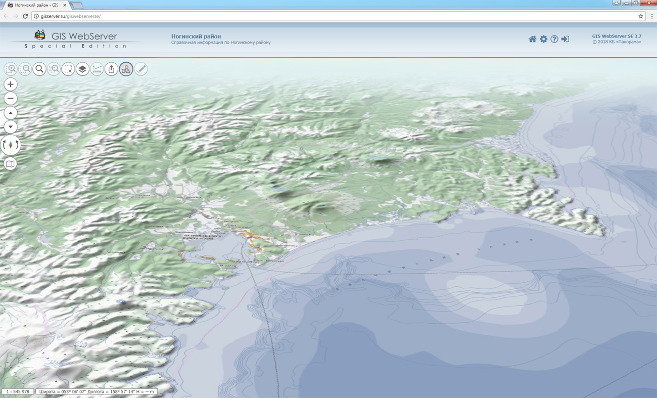
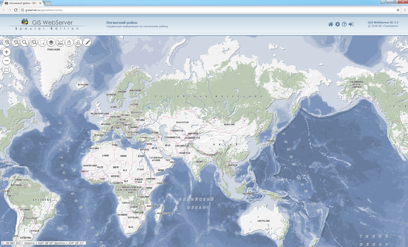
version 12.0.1 is developed in KB "Panorama". In the new version of service the speed of execution of requests of objects search and displaying the tiles by standards of OGC WMS, OGC WMTS, OGC WFS is considerably increased. When displaying a spatial database located on the and containing about 10 million objects in 12 layers, the speed of searching and issuing a list of objects at a point on average is 45 ms. Speed of displaying a fragment on the screen in format Full HD (1920х1080) in base scale 1: 10 000 on the average is 100 - 140 ms.
The using the architecture of distributed and parallel calculations can significantly simplify the process and technology of interaction between users with large amounts of data, reduce the hardware requirements necessary for the operation of the server. The new version has expanded the service functionality for working with the . For creation of new user layers on the GIS Server the requests of creating and copying the vector data were added. For building 3D terrain models, new requests for obtaining layer metadata, obtaining textures and materials from the SQLite database have been developed.
GIS WebService SE supports all international standards (OGC WFS, WFS-T, WMS, WMTS, WCS), through which the transmission and display of spatial data is carried out.
The program provides the ability to issue tiles for any user or local coordinate system. The application is implemented on Windows and Linux platforms, is compatible with Apache, IIS and nginx web-servers.
The new version of the program is available on the website in the section.


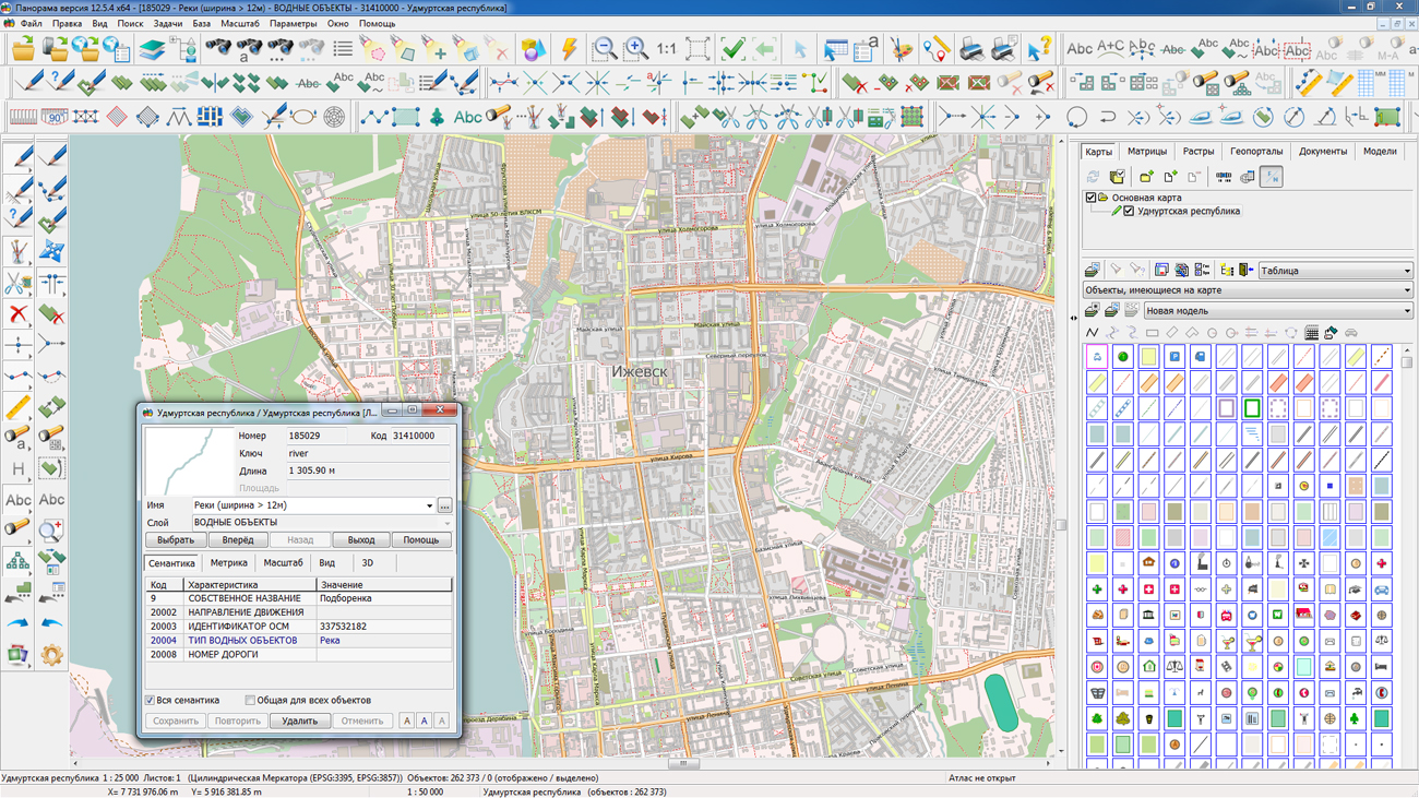
On the geoportal the map of Udmurt region formed according to OpenStreetMap data, was updated. Source data obtained from the GIS-Lab website are complemented by objects from maps of scale 1: 1 000 000. There are added the objects of hydrography, vegetation, road network. For work with the received maps it is possible to use the program of or other software products of KB "Panorama".
Publishing of updates in bank of spatial data is made by using the program of . Publishing contents of bank of spatial data on the geoportal and data access for downloading are implemented by means of GIS WebServer SE.
Free maps on the basis of OpenStreetMap data are available for download on the page "Digital maps and images".


In KB "Panorama" the version 7.4.12 is developed. The new version improves the performance and reliability of operations for editing spatial databases at high load on multi-core servers.
GIS Server with PostgreSQL DBMS was tested in cooperation with and when connecting several thousand web clients and executing up to 500 requests per second. The database can be edited simultaneously by external applications and through the graphic interface of programs the GIS WebServer SE, . GIS Server automatically tracks all changes and synchronizes the data state, which allows GIS WebService SE to issue actual graphic images by OGC WMS requests.
The composition of diagnostic messages for analysis of contingencies has been expanded.
The protocol of the GIS Server operation is formed in the UTF-8 encoding.
GIS Server implementation has the same functionality for Windows and Linux platforms (AstraLinux SE, MSVS, CentOS, Elbrus and others) and allows you to organize cross-platform work with clients and on a network with several GIS Servers.
The new version of the program is available for download on the page.


Ph.: +7 (495) 739-0245, +7 (925) 221-1603
www.gisinfo.ru | panorama@gisinfo.ru
105005, Russia, Moscow, Baumanskaya Street 7, building 1, office 229 (m. Baumanskaya)
Copyright © Panorama Group 1991 - 2024


 Mobile version
 Full version