Copyright © Panorama Group 1991 - 2024

Geoportal updated the map of Astrakhan region formed according to OpenStreetMap data. Source data obtained from the website are complemented by objects from maps of scale 1: 1 000 000. There are added the objects of hydrography, vegetation, road network. For work with the received map it is possible to use the program of or other software products of KB "Panorama".
Publishing of updates in bank of spatial data is made by using the program of and remote sensing data. Publishing contents of bank of spatial data on the geoportal and data access for downloading are implemented by means of .
Free maps on the basis of OpenStreetMap data are available for download on the page "Digital maps and images".

Geoportal updated the map of Rostov region formed according to OpenStreetMap data. Source data obtained from the website are complemented by objects from maps of scale 1: 1 000 000. There are added the objects of hydrography, vegetation, road network. For work with the received map it is possible to use the program of or other software products of KB "Panorama".
Publishing of updates in bank of spatial data is made by using the program of . Publishing contents of bank of spatial data on the geoportal and data access for downloading are implemented by means of .
Free maps on the basis of OpenStreetMap data are available for download on the page "Digital maps and images".


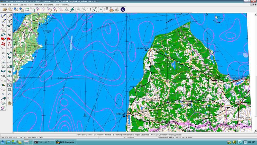
In KB "Panorama" the of version 11.13.5 is developed for operating systems Astra Linux SE. In the new version was added the task «Import from KML». This mode is for loading information from format OGC KML 2.2 on the map in the internal format GIS “Operator”. File KML represents xml code, it is used in program Google Earth. The connecting mode of geoportal is refined, which allows to upload the spatial facts in a graphic image and accompanying weather data. The use of standards WMS, WMTS, TMS provides a single access for searching, changing and provision of geospatial data, it creates opportunities for interaction GIS- applications and web services.
GIS of military purpose "Operator" is adopted to supply the Armed Forces by the Order of the Minister of Defence and is certified in the system of certification of information security for the information security requirements.
The new version of the program is available for download in the Download section.


In KB "Panorama" the x64 of version 6.5.0 is developed for CentOS operating system. In the new version the support of command is added for construction of geo-coverings from the data sets stored in the . It allows the operator of the Databank to select records by various criteria (territory, shooting date, accuracy, type of material and others) and to form coverings from vector maps, rasters or matrixes onto the specified territory in the chosen coordinate system. Coverings are placed into the specified virtual folders on the server that provides automatic access to them of various groups of users without additional administration. For convenience of conducting versions of geo-coverings at creation of geo-covering in the specified virtual folder there are automatically created the subdirectory with a name of a formed geo-covering (the operator specifies), and in it a subdirectory with current date (YYYYMMDD) GMT.
Configuring of virtual folders for placing geo-coverings is carried out by the Administrator of Databank of Digital Maps and Remote Sensing Data for each group of the data. Coordinate system of a covering can be specified by EPSG code (for example, "epsg:3857"). For formation of geo-coverings in the user's coordinate system the record of type "crslist:USER_CODE" is supported. In this case the coordinate system parameters are read on the GIS Server from the crslist.xml file by the specified code (identifier) of coordinate system. Records into the crslist.xml file can be added from the task "View Passport" in the .
GIS Server provides remote access to vector maps, remote sensing data, matrices, documents and databases of spatial data. There is supported a multilevel connection of servers among themselves for the distributed storage and processing of spatial data with automatic replication, backup and data protection. The new version of the program is available for download in the section.


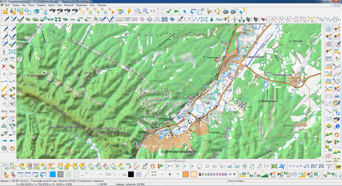
Development of began in 1989. The first version was released in 1991. Next year the SXF exchange format for digital terrain maps was developed. Since 1993 the creation of digital maps in the Topographic Service of the Armed Forces of the Russian Federation is performed in the GIS "Panorama". In 1995, the GIS "Panorama" version 5 adopted for the supply of the Russian Federation Armed Forces. GIS "Panorama" Version 7 began to be used for creating digital maps on Roscartography's enterprises since 2001. Currently, more than 44 thousands of registered users use GIS "Panorama" for working with spatial data in information systems for various purposes.
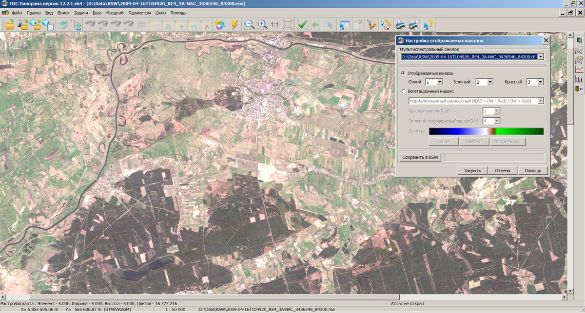
is developed for 64-bit platform. Work of the GIS in various applications in terms of volume of used operative memory is optimized at opening the vector maps and remote sensing data of a large volume. For example, at the construction of roads graph on OpenStreetMap maps containing tens of millions of objects in volume more than 10 GB onto the territory of Russia there are formed more than 10 million nodes and arcs, which together with the attributes can not be processed on the x32 platform. Use of all available RAM allows to accelerate the work with maps of large volume in tasks of displaying the spatial data, search and selection of map objects on the user-selected conditions, at editing of large files of objects, in the solution of theoretical and analytical problems. There is supported the work with geodata databases of unlimited volume, as well as with rasters and matrixes in the sizes up to Tbytes and the data of geoportals that can be displayed together with vector terrain maps.
In the new version of GIS in the task "Navigator 3D" there is implemented a constructing the 3D-model of a relief and surface objects by a cloud of points received at laser scanning of terrain by means of laser radars LIDAR (LIght Detection And Ranging). GIS "Panorama" allows to load a cloud of points from open exchange formats: binary format LAS and the textual format TXT containing array of points with planned point coordinates, height and a code). The cloud of points can be shown as a three-dimensional model with use of the additional data: orthophotomaps or images of terrain from geoportals. The interface of "Navigator 3D" task allows to carry out a filtration of interference, obtained by the terrain scanning. The rough filtration deletes points of individual hindrances, the exact filtration deletes points of the individual and linear hindrances caused by objects such as power lines.
New task the "Report Editor allows to create and print the documents, including maps, graphics, multi-line text with different attributes, embedded Office documents and tables, out-of-frame designing, coordinate grids and other elements. Printing the entire report or just the current page is performed by one mouse click. The generated report can be saved to disk for later creation on its basis of similar reports.
The new task the "Automatic arrangement of titles" provides creation and arrangement of titles by semantics of objects without operator's participation. In the process of creating titles their relative position is analyzed to exclude the titles intersection. The sequence of signing the objects is set by the user, which allows at the dense arrangement of objects to place the title of more important objects at the expense of less important. This task allows you to automate the process of maps generalization in part of drawing the titles for various maps elements: settlements, streets, buildings, road network, hydrography, etc.
The view of dialogue windows and panels of tools is improved. Variable size of the buttons allows you to create the most convenient view of the main window for any screen resolution. The program interface is implemented in Unicode supporting all language standards. The base version of GIS supports Russian and the English interface for all tasks.
Many standard tasks a GIS are refined. In the task of search and mark of objects in a given territory the selection of objects is performed by the area bounded by a closed loop. The contour is built in several ways: rectangle, polygon, and an arbitrary area (lasso). The choice of the method of constructing a closed loop is performed automatically and depends on the user's actions. For example, if consistently to press points on the map the area of search will be formed as a polygon. For marking the objects by a frame it is necessary to press the left mouse button and start moving along an imaginary diagonal. To select objects by arbitrary area (lasso), press the left mouse button and while holding it, start moving around the selected area. There is added the option for search of objects in polygons taking into account the internal contours of polygons.
Possibility is implemented for automatic creation and addition to the open vector map of list of user maps in the sit or sitx format. To create maps you need only enter a list of maps names or to paste the list from the clipboard. The coordinate system parameters are automatically set from the open map. Into the titles text there is included a support for keywords #date, #.date and #time, which at displaying text are automatically replaced with the current date (DD/MM/YYYY or DD.MM.YYYY) and time (HH: MM: CC). There is improved the task of "Creation of elevation matrix by a vector map" in terms of the processing the objects of lines and areal hydrography. Processing of the linear hydrography allows modeling 3D-lines of thalwegs. Processing areal hydrography provides the recording the height of the water surface in accordance with the absolute height of the water's edge. The task of "Connecting geoportals" is improved. In the new version the list of geoportals layers is expanded. For the geoportal of Rosreestr there is added a new layer of the "Zone with special conditions of using territories". Support is added for projections: Stereographic, and Double Stereographic EPSG:9809. At import of the data from SHP format to the polygons which were obtained as a result of the conversion and have sub-objects outside the boundaries of the main object is automatically assigned the sign of multipolygon.
Possibilities of the GIS are expanded for collective work in a network with using the software of and managements of archives of spatial data using the program the .
Data formats, libraries of conventional symbols, data exchange protocols are completely compatible with GIS "Panorama" of version 11 that allows you to perform software upgrades as required. Protection keys support execution of programs of version 12 and 11. The new version of the program is available for download in the section.


Ph.: +7 (495) 739-0245, +7 (925) 221-1603
www.gisinfo.ru | panorama@gisinfo.ru
105005, Russia, Moscow, Baumanskaya Street 7, building 1, office 229 (m. Baumanskaya)
Copyright © Panorama Group 1991 - 2024


 Mobile version
 Full version